A point cloud is a set of data points in a three-dimensional coordinate system. In CHAI3D, these points are defined by X, Y, and Z coordinates, and often are intended to represent the external surface of an object.
Point clouds may be created by 3D scanners. These devices measure a large number of points on an object's surface, and often output a point cloud as a data file. The point cloud represents the set of points that the device has measured.
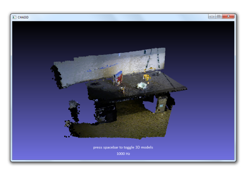
Similar to mesh objects, point cloud models use vertices to describe all the points that compose the cloud. A finger-proxy algorithm is also used to compute all the interaction forces between the haptic tool and the object. A collision detection must also be initialized after all points have been created.

